
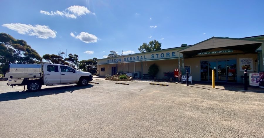
At the far north-eastern edge of Western Australia’s Wheatbelt, Beacon is the sort of town that rewards anyone willing to stop, slow down and look around.
Against the odds — and possibly against our better judgement — we’ve decided to spend a day or two exploring Beacon, out on the far reaches of the Wheatbelt.
We’ve been here before, but calling it a visit would be stretching the truth. Last time, Beacon was little more than a water stop on our way to Billiburning Rock and a handy bolthole when the rain arrived. This time we had every intention of just taking shelter for a night and then moving on. Last time, Beacon barely had time to introduce itself.
Today dawned and the forecast for the next couple of days is fine and warm, the caravan is parked, and we’re giving the place the attention it probably deserves.
There is also a small personal research project involved. Warm-to-hot weather and myasthenia gravis are not always the best of travelling companions. Heat can make MG weakness and fatigue more noticeable, so this won’t be a heroic test of man against climate. It will be a carefully paced experiment involving shade, water, rest breaks and Kay keeping a close eye on the chief test subject.
There’s only one sensible way to find out how I cope — gently, and with the air-conditioner kept within retreating distance.
Where the Wheatbelt Starts to Fray at the Edges
Beacon sits roughly 320 kilometres north-east of Perth in the Shire of Mount Marshall. It is often described as the most north-easterly town in the Wheatbelt, but that simple description doesn’t quite capture the feeling of the place.
This is transition country.
To one side are broad paddocks, cereal crops and grain-handling country. Beyond them, the landscape begins opening into extensive native bush and pastoral country. The farms feel harder won here, the distances stretch a little further, and the horizon appears to have been given extra room.
Beacon is not a polished tourist town pretending the bush begins at the edge of its car park. It is a working community living right where the agricultural Wheatbelt meets something older, rougher and far less interested in straight lines.
That alone makes it worth a proper stop.

From Sandalwood Tracks to a Railway Town
Long before Beacon became a town, Aboriginal people knew and moved through this country. The district was later crossed by shepherds and sandalwood cutters, whose tracks helped open the way for surveyors and settlers.
Pastoral leases reached north towards Datjoin in the 1870s, and sandalwood cutters were working through the wider district by the 1880s. Surveyor Harry Sanford King mapped parts of the region around 1889–90. Agricultural settlement followed later, with early farmers taking up blocks around Beacon during the 1920s.
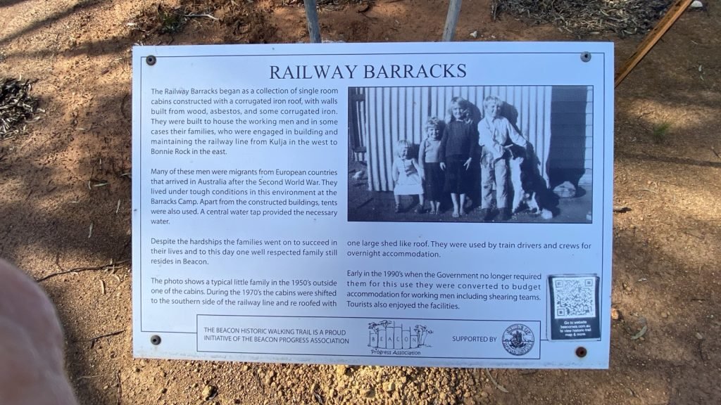
The proposed settlement was originally known as Beacon Rock, after the local geographical feature. The “Rock” was eventually dropped, the Beacon townsite was gazetted in 1931, and the railway arrived that same year as the line pushed north-east from Burakin towards Bonnie Rock.
As happened across the Wheatbelt, rail and grain gave the young settlement its reason for being. A railway siding, wheat facilities and the surrounding farms turned a name on a survey map into a community.
The railway era has changed, but grain still matters here. Beacon remains unmistakably a farming town — practical, resilient and refreshingly free of fuss.
Rocks, Wells and Proper Big-Sky Country
The country around Beacon is dotted with granite outcrops, wells, salt lakes and bush reserves. Many of the rocks were used to catch and channel rainwater — a reminder that, out here, water has never been something to take for granted.
Our old acquaintance, Billiburning Rock, lies north of town near the vermin-proof fence. It is one of the district’s larger granite outcrops, surrounded by relatively undisturbed bushland.
From the top, the views roll across cropping and pastoral country, especially impressive late in the day when the sunset starts showing off. The reserve is also known for wildflowers, native animals and birdlife, with everything from wedge-tailed eagles and budgerigars to black cockatoos and malleefowl recorded in the area.
To the east is Datjoin Well and Rock Reserve, where unusual rock formations sit among country first opened to pastoral leases in the nineteenth century. The well was dug by sandalwood cutters in the early 1900s.
In winter and spring, the reserve is particularly known for orchids and wildflowers. It has also been a local picnic and social spot for generations — which somehow tells you more about a place than any glossy brochure can.
Back in town, there is more to investigate than we noticed on our rainy dash through.
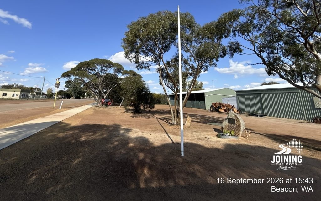
The Beacon Museum, housed in an old church, holds pieces of the district’s history. The Men’s Shed has restored vintage machinery, and the local Botanical Park offers a closer look at the plants that manage to thrive in this demanding country.
There is also a restored sandalwood dray — a fitting tribute to the men, animals and rough tracks that came before the roads.
And then there is Lake Askew, the large salt lake between Beacon and Bencubbin, where the wide-open landscape does most of the talking.
A Town That Doesn’t Need to Shout
Beacon’s appeal is not about a long checklist of major attractions. It is in the combination: the grain bins and granite, old machinery and wildflowers, salt lakes and sandalwood history, neat streets and enormous skies.
It is also in the people who keep a small, remote community going. Real small, like 123 souls.
Places like Beacon can be easy to misread from behind a windscreen. You arrive, see a few streets, decide you’ve “done” the town and keep driving towards the better-known dot on the map.
We’ve been guilty of exactly that.
But the map is only a suggestion, and sometimes the places sitting quietly between the headline destinations are where the real story lives.
So, for the next day or two, we’ll explore at Beacon pace. We’ll poke around the town, revisit the rocks, learn a little more about the people who built a life out here and see how Michael-versus-warm-weather plays out.
No medals will be awarded. No speed records will be attempted.
If the temperature wins, we’ll conduct the remainder of the research from inside the caravan with the air-conditioner running and a cold drink nearby.
That still counts as fieldwork.
The map is only a suggestion, remember.
Traveller’s Notes
- Beacon is about 320 kilometres north-east of Perth, in the Shire of Mount Marshall.
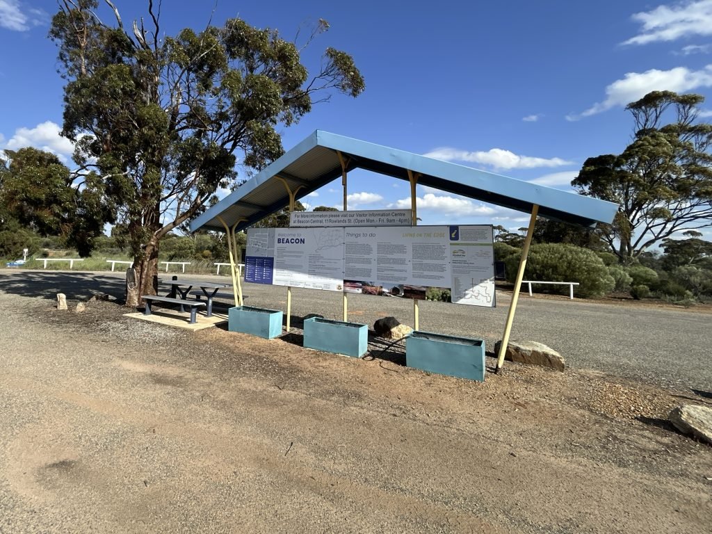
- The local information bay is on Lucas Street, opposite the general store. Visitor information is also available from the Beacon Community Resource Centre.
- Beacon sits on the Wheatbelt Way self-drive route.
- Billiburning Rock has van access and bush camping, but no services. Visitors should take their rubbish with them.
- Caravans are not permitted at Datjoin Well and Rock Reserve.
- The Beacon Museum and Men’s Shed may require an appointment, so check locally before visiting.
- Conditions, access and opening times can change. Check with the Beacon CRC or the Shire before heading to outlying reserves.

Leave a Comment